

Cane Creek Stormwater Modeling, Mapping & Analysis | Memphis, TN
SERVICES:
Surveying
GIS Data Management
Stormwater Modeling & Analysis
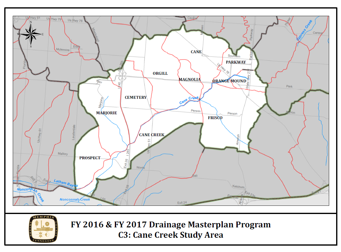
This project included development of a stormwater model for the Cane Creek watershed, a 5,100 acre urban drainage basin within the City of Memphis. The comprehensive model was developed to simulate hydrologic and hydraulic conditions within the watershed, the results of which were used to identify and assess drainage problems throughout the basin and to develop improvement alternatives. The project included a comprehensive survey of all stormwater infrastructure within the watershed using state-of-the-art GPS equipment. GPS data was collected and managed in ArcGIS format which transferred directly into the City’s GIS database.
Key Team Members

Harvey Matheny, PE
Project Manager

Bill Woods, RLS
Survey Manager